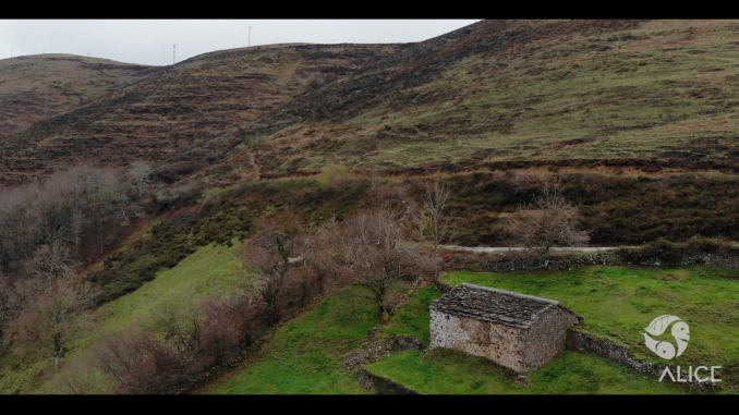
On World Environment Day, the Environmental Hydraulics Institute of the University of Cantabria ‘IHCantabria’, coordinator of the European Project ALICE, and the Basque Center for Climate Change (BC3), show how Blue and Green Infrastructure Networks (BGINs) can prevent natural disasters while assuring the provision of ecosystem services.
In celebration of the 46th anniversary of Environment Day, on June 5th, 2020, IHCantabria underlines the importance of adopting integrated landscape management strategies to preserve biodiversity, fight climate change and reduce public health risks. Aligned with project ALICE purpose, prevention can and should be based on natural solutions. BC3, the partner leading the modelling effort, in collaboration with IHCantabria, is integrating environmental and socio-economic variables in an ecosystem services multi modelling platform to provide decision makers an easy and reliable tool for measuring impacts and nature-based investment opportunities.
In Spain, the work on the region of Cantabria highlighted three urgent issues pointed out by key players on the field. As demonstrative examples, this region has been suffering from more frequent and intense floods in the downstream Reinosa city, uncontrolled fires in inner areas of Cantabria and increasing soil erosion in Monte Corona. These issues have implications on the river water flow and its ecosystems regulation functions which impacts are exacerbated by the increasing trend to replace native forests with monocultures for timber exploitation, a widespread activity in the area, and recurrent fire events that affect mainly shrubs and pastureland across the region.
We are promote the implementation of Blue and Green Infrastructure Networks (BGINs), such as the ones already implemented in the area of Cantabria:
- Re-naturalization of the fluvial and riparian ecosystems of Híjar river to reduce the flooding risk in Reinosa, increasing the ecological potential, related ecosystems and strengthening its natural and social values. The work includes recovering meander and riparian vegetation areas, setting aside motes and re-profiling shores, creating pedestrian paths, removing industrial sediments, new riverside plantations of riparian species and revegetation of affected areas by deposits of solids and soil movements.
- Prescribed burning of grass as a tool for sustainable forest management, farming, pasture maintenance or greenhouse sink and a way to control fire hazard. The application of prescribed burning included in PEPLIF, the Strategic Plan for Prevention of Forest Fires in Cantabria, supported by EPRIF and Regional Government technicians, has been proved to be an effective, well-accepted useful tool for controlling human-made burning in areas with pressure for pasture maintenance or, an issue that is still common, for satisfying a secular cultural heritage for territory management.
- Consolidation of several riparian buffers along six of the water courses of the Monte Corona to match the productive use with the conservation of the natural values and the regulatory ecosystem services provided by the native forests. The recovering of the riparian vegetation will improve not only the biodiversity of the area but also the important processes related to floods and soil erosion towards receiving streams.
For each of these strategies a video has been made by IHCantabria to illustrate the interventions and key actors, as Government of Cantabria, investigators from University of Cantabria and EPRIF technicians. (See the videos below this article)
In the context of Global Change, it is widely accepted that forests play an important role in the mitigation effects of global warming and the fixation of carbon, regulation of river discharge and hydrological stability at a catchment scale and providing a wide variety of ecosystem services. These ecological functions cannot be replaced by current human-made reforestations, which lack multiple steps of ecological succession and disregard biological, physical and chemical soil properties.
Urbanization and other pressures affect the natural hydro morphological condition of water bodies. This has eliminated natural vegetation, increasing the fragmentation of mature forest patches, and, therefore, reducing connectivity and genetic fluxes among populations and leading to the isolation of lands and degradation of natural communities.
The project’s multidisciplinary team is currently developing several models for predicting changes in ecosystem and biodiversity services provision, given the evolution of land use and its capacity to respond to climate change, seeking to understand the benefits generated by the introduction of Blue and Green Infrastructure Networks at the river basin scale.
These models are being integrated in a multi-model platform (k.LAB), developed by BC3 and powering the ARIES approach to ecosystem services. Through its newly developed user interface (k.Explorer) this technology has been made accessible to policy makers, territory managers and all those who want to evaluate the response of ecosystems and the effect on the provision of their services (such as water purification or mitigation of extreme events) and biodiversity. In the face of different scenarios such as climate change, users can foresee the effects on Blue and Green Infrastructure Networks in current landscapes as well as under future scenarios of climate and land use change.
Link to an introductory video on k.LAB: https://youtu.be/xyI9MzB6hg8
