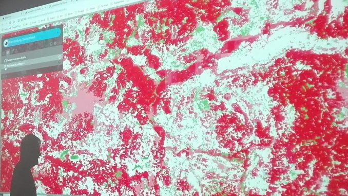
BC3, the partner leading the modelling effort, in collaboration with IHCantabria, is integrating environmental and socio-economic variables in an ecosystem services multi modelling software (k.LAB) to provide decision makers an easy and reliable tool for measuring impacts and nature-based investment opportunities.
k.Explorer is an internet browser-based interface that provides an easy access to the k.LAB technology for the integration of models and data.
What’s the use of this software and whom can it serve?
k.LAB is a spatially and temporally explicit multi-paradigm modelling platform that allows the integration of data and models developed independently through artificial intelligence.
Until now it’s only been used by expert modellers and software developers for simulating human-natural systems (e.g. a watershed, a region in space, an agro-ecological system, etc.) and their evolution.
k.Explorer puts this technology at the hands of non -expert who can simply browse the knowledge generated by the available data and models through simple queries, such as in a web search engine.
Which data does the k.LAB technology use?
Currently available contents include:
- More than 100 spatial data layers (at scales from regional to global) from their authoritative sources (e.g. Copernicus, NASA, UN, ISIRC, Earth Institute, etc.).
- A suite of model components to address to ecosystem services related queries in 10 areas of study (recreation, pollination, flood regulation, sediment regulation, carbon storage, etc.).
- Process based model components: hydrology, grassland vegetation and livestock life cycle, etc.
- Data driven model components built with the fully integrated Weka software
- A spatial multi-criteria assessment module for trade-off and spatial planning analysis.
- A social network analysis module for modelling relationships among human and natural agents.
- A full set of GIS algorithms to use within modelling workflows to implement complex spatial models.
- The entire feature data from OpenStreetMap (through a specialized mirror that is updated constantly) so that they can be used in our computations.
Contents are constantly expanding and results of the queries depend on the contents made available: more knowledge implies better answers.
For this reason we have created a partnership that institutions can join to make sure that the knowledge they generate is usable and used: http://www.integratedmodelling.org/
What are its outputs and how can they be applied in ALICE?
Outputs are maps, diagrams, but also graphics and videos, representing a system, its components and the connection among them, over time, at different time steps, under the current situation or future scenarios.
It’s like having a virtual laboratory representing the real world where you can select the components to consider, perturbate them with “what if” scenarios, and assess their implications over time.
In ALICE we are particularly concerned with recreation, fisheries, agriculture and forestry, which are key sources of wellbeing along the European Atlantic coast.
What if climate change affects water regimes in the Pas, Miera and Ason watersheds (one of four case studies, the one in Northern Spain): what are the consequences in terms of water quality, fisheries, water consumption, flood risk, etc. ?
What happens if the population increases in the urban centers and decreases in the rural regions?
What is the relation between k.LAB and ALICE?
ALICE is using the k.LAB technology to connect the scientific knowledge generated by different project partners.
Within the ALICE project, we have researched the complex interdependencies between human and natural agents and processes across terrestrial, riverine and estuarine realms.
To this end we have developed a set of modular and interconnected models, combining different domains of expertise, in 4 case studies, which allow to simulate current environmental and social dynamics and their future evolution.
